Aerial Photos Vancouver and Region, British Columbia Stock Photos - PhotosCanada.com Gallery

Aerial Photos Vancouver and Region, British Columbia Stock Photos

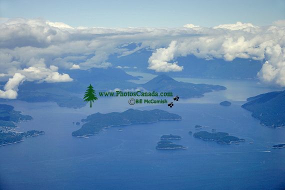
Strait of Georgia and Horseshoe Bay Aerial, British Columbia, Canada CM11-05

Strait of Georgia and Horseshoe Bay Aerial, British Columbia, Canada CM11-05

Description : The Strait of Georgia or the Georgia Strait (also known as the Gulf of Georgia), is a strait between Vancouver Island (as well as its nearby Gulf Islands) and the mainland Pacific coast of British Columbia, Canada. It is approximately 240 kilometres (150 mi) long and varies in width from 18.5 to 55 km (11.5 to 34 mi). Archipelagos and narrow channels mark each end of the Strait of Georgia, the Gulf Islands and San Juan Islands in the south, and the Discovery Islands in the north. The main channels to the south are Haro Strait and Rosario Strait, which connect the Strait of Georgia to the Strait of Juan de Fuca. In the north, Discovery Passage is the main channel connecting the Strait of Georgia to Johnstone Stra

Home | Gallery | Biography | Contact Us | Purchase


PhotosCanada.com
P.O. Box 927
Garibaldi Highlands, B.C.
Canada V0N 1T0


Click to view PHOTOSCANADA.COM LICENSING TERMS & CONDITIONS

 Copyright 2003 - 2021 © Bill McComish
All images on this website are legally protected from unauthorized use by international copyright law.
The images may NOT be used in other websites, published, copied to another computer
or used as the basis for other photographs or illustrations.