Telegraph Creek Photos, Grand Canyon of the Stikine River, Northwest British Columbia Stock Photos - PhotosCanada.com Gallery

Telegraph Creek Photos, Grand Canyon of the Stikine River, Northwest British Columbia Stock Photos

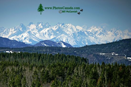
Northern Sawtooth Range, Telegraph Creek, Northwest British Columbia CM11-02

Northern Sawtooth Range, Telegraph Creek, Northwest British Columbia CM11-02

Description : Stikine River Provincial Park protects a geological feature unparalleled in Canada. Eighty kilometres of steep-walled canyon, composed of sedimentary and volcanic rock, has been carved through eons of river erosion. In the bottom of this sometimes 300 metre deep chasm flows the wild and unnavigable Stikine River, which varies in width from 200 metres to as little as 2 metres at a point near the Tanzilla and Stikine confluence.

Home | Gallery | Biography | Contact Us | Purchase


PhotosCanada.com
P.O. Box 927
Garibaldi Highlands, B.C.
Canada V0N 1T0


Click to view PHOTOSCANADA.COM LICENSING TERMS & CONDITIONS

 Copyright 2003 - 2021 © Bill McComish
All images on this website are legally protected from unauthorized use by international copyright law.
The images may NOT be used in other websites, published, copied to another computer
or used as the basis for other photographs or illustrations.