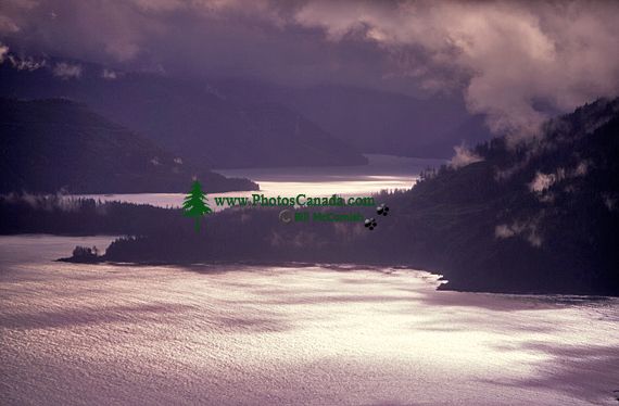
Aerial Photos, Gwaii Haanas National Park Reserve, Haida Gwaii, Queen Charlotte Islands, British Columbia, Canadian National Parks Stock Photos - PhotosCanada.com Gallery

Aerial Photos, Gwaii Haanas National Park Reserve, Haida Gwaii, Queen Charlotte Islands, British Columbia, Canadian National Parks Stock Photos

Gwaii Haanas National Park Reserve Aerial, British Columbia, Canada CM11-14

Gwaii Haanas National Park Reserve Aerial, British Columbia, Canada CM11-14

Description : Sixteen thousand years ago, a great glacial ice field covered half of North America. At that time sea levels on the inner continental shelf, including Hecate Strait, were at least 100 meters below present levels. At the same time, the areas at the upper ends of mainland fjords were submerged by up to 200 meters. The tremendous weight of ice sheets on the mainland pressed the crust down, resulting in the displacement and further lifting of the Queen Charlotte/Haida Gwaii archipelago. Evidence for this east-west tilt was obtained from the studies in Hecate Strait. In an ancient lake basin that existed for several hundred years (now under Hecate Strait, east of Lyle Island) the sediments indicate that sea levels at this location fell to at least 170 meters below present levels. At a former coastal beach terrace 50 km east of the lake, deposits indicate that sea levels during the same time period were 110 meters lower than at present. A minimum east-west tilt of 60 meters, over a horizontal distance of 50 km is indicated by these findings.

Home | Gallery | Biography | Contact Us | Purchase


PhotosCanada.com
P.O. Box 927
Garibaldi Highlands, B.C.
Canada V0N 1T0


Click to view PHOTOSCANADA.COM LICENSING TERMS & CONDITIONS

 Copyright 2003 - 2021 © Bill McComish
All images on this website are legally protected from unauthorized use by international copyright law.
The images may NOT be used in other websites, published, copied to another computer
or used as the basis for other photographs or illustrations.